
Byron Township Neighbors by Parcel
For a block-level question, use the source that matches the question. Kent's parcel viewer draws the boundary and connects it to public owner, address, and jurisdiction fields. The township assessor provides an owner-centered parcel record. A deed explains a recorded transfer, while an election record can be used only through its separate public rules. Civic contacts help identify organizations in the area, but they do not reveal a private block roster.
| Source | What It Shows About a Block | Access |
|---|---|---|
| Kent GIS parcel map | Parcel boundaries, adjacent lots, owner and situs or mailing fields, district context | Public viewer and map query |
| Byron BSA parcel search | Current owner-centered parcel record | Public online reference |
| Kent deed index | Recorded ownership chain by parties and legal description | Free index from 1970; image or office route |
| MVIC or QVF request | Individual registration match or properly scoped public voter data | Name match or formal county/state request |
| Township community page | Public civic and service organization contacts | Township webpage |
| Library and museum collections | Historical directory, newspaper, school, and map leads | Collection-dependent access |
An owner field and a household are not the same thing. The map may identify a parcel owner who receives mail elsewhere, and it does not identify every occupant. Treat each field as evidence of only what the custodian actually records about Byron Township neighbors.
Map Byron Township Neighbors in Kent GIS
Kent County Public Viewer starts with an address search and map navigation. Select the target parcel, record its PPN or PNUM, address, governmental unit, school district, and displayed owner or mailing fields, then zoom out one level. Following the visible parcel edges is more reliable than assuming that every similar street address falls in the same jurisdiction.
The Kent GIS Public Viewer shows the map interface used to identify a target parcel and inspect the parcels immediately around it.
The viewer connects a place on the map to parcel geometry and county attributes. Its public data carries a no-warranty notice, so keep a result date and confirm the field with the office when an official copy is needed.
- Search the known address and identify the parcel polygon.
- Write down the PPN, situs address, governmental unit, school district, and each owner or mailing field shown.
- Zoom out, then select parcels sharing a boundary or facing the same road segment. Keep a separate row for each parcel.
- Pan along the road and retain the house-number range instead of merging parcels that merely share a street number.
- Use the county street directory's address range and odd-even columns as a geography cross-check when a boundary is unclear.
For a full named-road record chain rather than the immediate block, the Byron Township street directory uses the address and deed trail in greater detail.
Read Byron Township Neighbor Parcel Fields
Kent's parcel layer separates the field for the physical property from the field for the owner's mailing destination. `PROPERTYADDRESS` and its city or ZIP describe the situs, while `OWNERADDRESS`, city, and ZIP describe where tax material is sent. That distinction prevents a common mistake: a mailing field can be a contact clue without proving that the owner is at the property.
Parcel geometry, governmental unit, school district, property class, SEV, taxable value, and the condominium flag are also separate attributes. A PPN is the stable cross-reference when a road label changes or an address is incomplete. The deed's legal description, lot, block, subdivision, or metes-and-bounds wording is the stronger match for a recorded transfer. The public viewer may offer fewer controls than its underlying ArcGIS service, so do not treat an advanced service feature as a guaranteed viewer button.
- Parcel
- A defined piece of land shown as a polygon and identified by a county parcel number.
- Situs address
- The physical location associated with a parcel, distinct from an owner's mailing destination.
- Legal description
- The lot, subdivision, or land description used to identify property in recorded instruments.
Note: Keep raw field labels in notes, because the difference between a situs and mailing value often resolves an apparent mismatch without any guesswork.
Compare Byron Township Neighbor Sources
Official records create a documented trail because each field has a named keeper and access limit. Commercial neighbor-search categories may combine public filings, marketing data, and directory material, but their update and matching practices vary. A combined result can be a lead, yet it should not replace the county map, parcel roll, deed index, or Clerk when a fact needs to be checked.
| Official record trail | Commercial lookup category |
|---|---|
| Shows the custodian, source date, field meaning, and route for correction. | May blend sources with different dates, collection methods, and matching standards. |
| Kent GIS ties information to a selected parcel and its geometry. | A nearby-address result may not explain which parcel or record supports it. |
| Deed and Clerk routes allow the recorded instrument or office process to be checked. | Use a result only as a prompt to verify through the official source. |
For a missing historic document, Kent's Register of Deeds counter or written-copy route, library collections, and a carefully described records request are better fallbacks than broad name matching. A dated source trail also makes it possible to correct a wrong parcel association.
Scope Voter Data for Byron Township Neighbors
MVIC is not a map of every registered voter on a block. The public lookup requires a first name, last name, birth month, and birth year to return an individual registration match. It can show status and local election information within the public screen, but it does not offer an open street-wide roster or ballot-choice information.
A defined voter-file request is the documented route when a public-record purpose requires data for a jurisdiction. Kent County's form permits county, city or township, district, ward or precinct, and election scope selections. The state QVF process can likewise be scoped by geography and fields and requires certification. Public output remains subject to redaction: driver-license and state-ID numbers, month and day of birth, phone, email, signature, and protected-address information are excluded.
Registration is a dated civic record, not proof that every listed person remains at an address. Ask Byron Township Clerk or Kent Elections about a correction route when a result seems wrong. Do not infer a protected address from surrounding parcel records.
Use Byron Township Neighbor Civic Contacts
Byron Township's community-organizations page is useful for locating public civic and service contacts around a block. It is not an HOA directory, a membership list, or a boundary map. The captured township source lists organizations that serve the community, but it does not publish private member names or block rosters.
Byron Center Chamber
Public civic and business contact resource with precinct and polling-place context in its directory. Confirm current election changes with the Clerk.
Byron Community Ministries
Township-listed community service contact. Its listing identifies a public organization, not people who use its services.
Byron Community Wellness Foundation
Public community contact named by the township for local wellness-related activity and information.
South Kent Rotary
Township-listed civic contact. No verified public member roster was located in the source set.
The township organization inventory displays the public contacts that form this community layer.
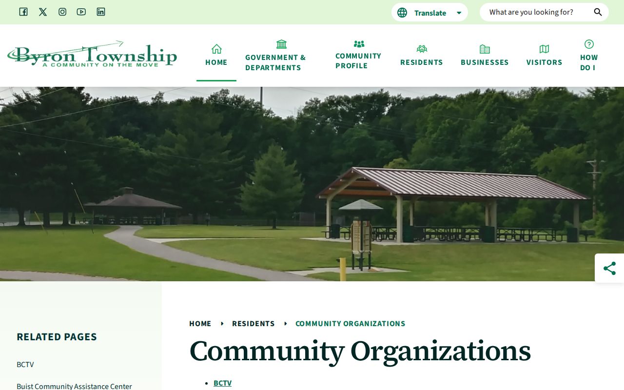
Use these organizations to understand local civic context or locate a public service contact. Do not reconstruct private membership, congregation, or block-watch lists from an organization name.
Place Byron Township Neighbors in Local Geography
Postal labels, township lines, and school geography do not always align. Kent's official Street Directory lists Julienne Court SW as Byron Center 49315 in Byron Township and Byron Center Public Schools. The same directory lists ranges on Kalamazoo Avenue SE with the Byron Center 49315 mailing locality while identifying Gaines Township and Caledonia schools.
That local contrast matters when comparing adjacent parcels. Byron Center, Cutlerville, North Byron, Corinth, and Carlisle can appear as area labels, while the county map may show a different governmental unit or school district. Use parcel geometry and the governmental-unit field to decide jurisdiction. A postal city label alone does not settle it.
Note: Preserve the locality label printed by the record, then cross-check it against the parcel rather than silently changing it to a modern township label.
Trace Byron Township Neighbors in Historical Sources
Older block research has a different set of records. Bresser reverse or criss-cross directories can connect an address to a head of household, phone, owner indicator, or arrival and relocation clue for a selected year. They are snapshots, not a continuous account of who lived on a block. The Library of Michigan describes these directory forms, while KDL and other regional collections can supply year-specific access.
The Byron Center Museum and Historical Society keeps local photographs, maps, farm and Grange history, school material, and senior photographs dating back to 1930. KDL's historical databases and the Grand Rapids Press archive can add newspaper or obituary leads. Pair any lead with a deed, parcel record, probate file, or cemetery record before treating it as a connection to a particular address.
Local history staff can help translate an old road, farm, school, cemetery, or community name into a modern parcel search. Give them the printed source year, surname, and address if known. Broad requests to identify everyone in an area are not supported by these collections.
Protect Byron Township Neighbor Privacy
Parcel records can show owner names and mailing fields, but non-owner occupants and other household members are not guaranteed public parcel fields. Utility customer lists and delivery records are not public resident-directory sources. The federal Driver's Privacy Protection Act also protects motor-vehicle personal information. A parcel map should never be used to fill in data that the record does not show.
Michigan's Address Confidentiality Program shields qualifying survivors through a substitute address and mail-forwarding service. Protected voters, sealed court parties, juveniles, and other confidential groups must not be reverse-engineered from a nearby record. Michigan FOIA permits requests for nonexempt existing records, not an agency-created list of people around an address.
Lawful personal use. Use Byron Township neighbor records for personal, lawful research and public civic context. Do not use a result to stalk, harass, intimidate, or harm another person.