
Byron Township Record Eras for Past Residents
Previous residents research works best as a dated trail, not a name-only search. The current parcel record gives a physical address, parcel number, legal description, and owner lead. Recorded deeds reveal parties to land transfers. Directories and census schedules help distinguish a prior owner from a household at the address. Older land records shift to counter, archive, and microfilm channels, so the year being researched determines where to begin.
| Source | Years It Covers | Where Held | What It Shows |
|---|---|---|---|
| Kent Basic Document Search | 1970 to current index under the June 2026 notice | Kent Register of Deeds online | Grantor, grantee, document, and paid-image route |
| Register counter or written request | Current and historic county holdings | Kent County Register of Deeds | Older books and certified or uncertified copies |
| FamilySearch Kent deeds and indexes | Deed books 1801 to 1901; indexes 1799 to 1920 | Catalog, film, or Family History Center | Historic instrument and index references |
| Kent tract books | 1830 to 1860 | FamilySearch, six reels | Abstracted transactions for Byron Township T5N R12W |
| Polk, Bresser, and federal census | Directories vary; census public through 1950 in 2026 | Libraries, KDL, GRPL, Library of Michigan, and NARA resources | Household, address, age, and locality clues |
Building permits, obituaries, cemetery records, and probate files can explain a change in ownership or household. They do not replace the deed chain. Keep separate notes for owner, occupant, mail recipient, and family member because those roles can point to different people at the same address.
Start a Byron Township Previous Residents Trail
The present parcel is the bridge into the historical record. Byron Township's BSA Online property search provides owner-name, address, and parcel-number routes, while the Kent County Public Viewer can confirm parcel geometry, governmental unit, school district, situs address, owner mailing fields, and PPN. The township describes its assessor material as a reference copy, and building or land data can change in the production system.
Write down the PPN, exact situs address, owner name, mailing address, subdivision or lot, and legal description before changing sources. The owner mailing address is not proof that the owner lived at the property. The legal description and parcel number are the steadier match when an old address is absent, changed, or repeated elsewhere in Kent County.
Address and PPN → parcel and legal description → current owner as grantee → earlier seller as grantee → directory and census household evidence.
Byron Township Previous Residents After 1970
Kent's Basic Document Search is the principal online starting point for a modern land trail. The county's June 2026 notice puts the public index floor at January 1, 1970. Searching the index is free. Downloaded or printed images cost $1 per page by credit card, and the county lists an Advanced subscription at $25 for 24 hours or $2,000 for a year, plus card handling or convenience charges. A purchased image is often needed to check the legal description.
The portal warns that its index is a guide to the underlying document, much like a library catalog. Search all reasonable name spellings and add date, parcel, or legal-description details. Individual names are entered LAST FIRST, with last name and first initial suggested for better results. The deed portal also requires registration for copy purchases, while the free record search remains available.
Review the Kent deed-index disclaimer before interpreting an index result.
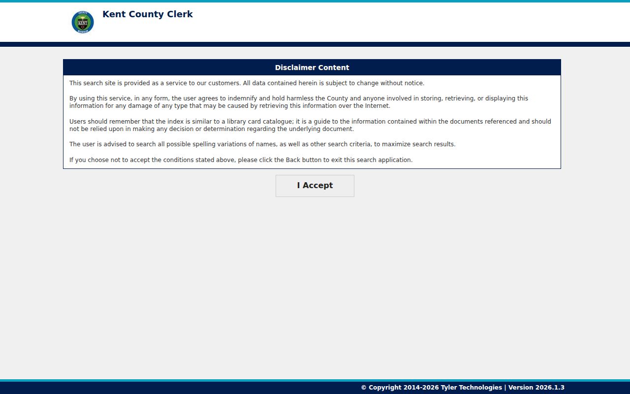
The notice is a useful reminder that a document number or party line must be checked against the actual deed and parcel details.
Note: The online index beginning in 1970 does not mean Byron Township's earlier ownership history begins in 1970.
Trace Previous Residents Through Kent Deeds
A deed tracks an interest in land, not every person who lived there. Start from the current owner found on the parcel record and locate the deed where that person is the grantee, or buyer. The seller on that deed is the grantor. To move back one link, search that seller as a grantee in an earlier period, then compare the parcel, lot, subdivision, or legal description before accepting the match. Names alone can produce unrelated records.
- Record the current parcel data from BSA or GIS, including PPN, situs, legal description, and current owner.
- Use the basic deed search for the current owner as grantee, narrowing by recording dates and document type when the available details support it.
- Open or purchase the image when the exact legal description needs confirmation, then note both parties, document number, recording date, and reference fields.
- Search the seller from that deed as a grantee in an earlier date range, and repeat the parcel or legal-description check for every link.
- At the 1970 boundary, move to the Register counter or written-copy route, historic books and indexes, then FamilySearch films rather than guessing at an earlier owner.
- Grantor
- The party transferring an interest in a deed, often the seller in an ordinary sale.
- Grantee
- The party receiving an interest in a deed, often the buyer. Searching an earlier grantee is the backward step.
- Chain of title
- The sequence of verified conveyances for the same land. Each link needs more than a matching surname.
- Legal description
- The lot, subdivision, section, township, range, or other land wording that identifies the property more reliably than an old street label.
Use the Kent Basic Document Search to see the available party, date, document-number, liber, page, parcel, and document-type controls.
Those fields support a controlled search, but the legal description remains the test that ties the result to the Byron Township parcel.
Byron Township Previous Residents Advanced Search
When a name brings too many hits, Kent's Advanced Document Search adds parcel, platted legal, PLSS legal, and situs legal fields. It also offers both-name, recording-date, document-type, result filtering, sorting, printing, and CSV export controls. Use those fields to narrow the results around a known house number, street, lot, section, township, or range. The screen may change, so treat the current portal labels as the controlling instructions.
Search tactics can assist with spelling variants, but they do not convert a weak name match into a proven chain. The county's help describes exact and wildcard tools, including operators for required or excluded terms and possible misspelled letters. Apply them only to fields the portal supports, then confirm the result against the deed.
Inspect the Kent advanced deed search when parcel or legal-description filters are needed.
The expanded legal and address controls are most useful after the parcel record supplies the exact terms to enter.
Past Households Behind a Byron Township Address
Deeds identify recorded parties, but directories and census schedules help answer who lived here before. Bresser reverse or criss-cross volumes are address-first. Where a Kent volume exists, they can show a head of household, telephone, ownership-status indicator, year first listed, and arrival or relocation clue. Polk or county directories can add a name, address, occupation abbreviation, and household notation. The collection details and volume limits are kept with the Byron Township city directory collections.
- Search the target address in an available reverse or Polk directory and retain the printed locality, year, page, name form, and address.
- Make a year-by-year table that separates the deed owner from the listed household head and records any telephone or arrival clue.
- Pair a directory year with the nearest public census, which in 2026 reaches through 1950, and compare the address or enumeration geography.
- Use an obituary, cemetery record, probate file, or newspaper notice to investigate a change, while leaving the deed or probate record as the legal confirmation.
At KDL, the Grand Rapids Press Historical Archives give full-text access from 1893 through 1970 at branch locations. Combine a surname with Byron Center, Byron Township, a road, school, church, cemetery, or organization. OCR errors are expected, so read the page image before taking a result as evidence.
Use Byron KDL's local-history resources for the branch route to newspaper and genealogy material.
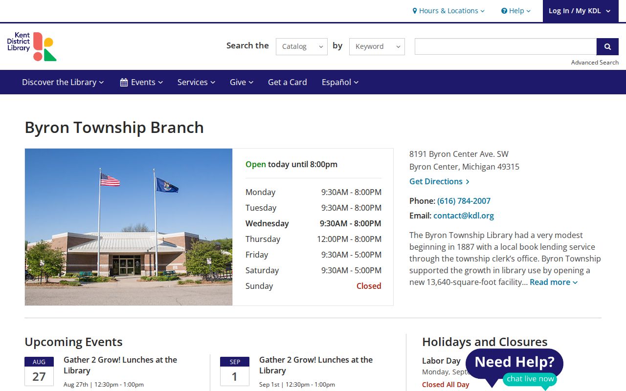
The local library route complements the land index by helping test whether a recorded owner was also connected to a dated household clue.
GRPL History for Byron Township Previous Residents
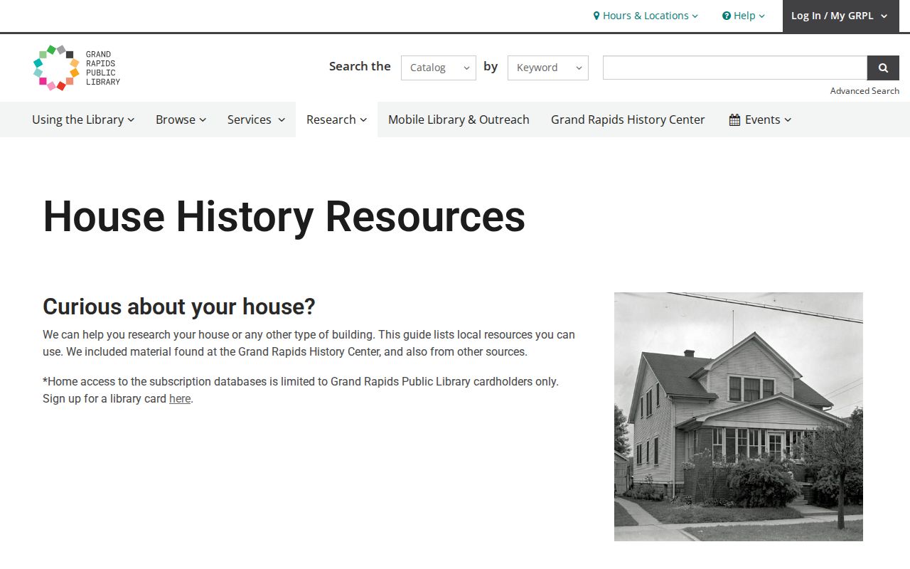
The Grand Rapids Public Library house-history guide is a useful regional method source. It links real-estate listing cards from the 1950s through 1990s, deeds, directories, Sanborn maps, census schedules, atlases, and plat maps. Its listing cards cover many Grand Rapids addresses, not guaranteed Byron Township addresses. Use them as a research route, then test the result against the Byron parcel and Kent land records.
The guide also mentions a 1912 address renumbering in Grand Rapids. That date is not a Byron Township fact. No Byron-specific renumbering or renaming year was located in the research, so an apparent address change needs address-level proof rather than a borrowed city history.
Open the GRPL house-history guide for its regional source checklist.
The guide's approach is most reliable when each regional lead is anchored to the target parcel's legal description and date.
The 1860 Byron Township Land-Record Break
Kent's original deed books were destroyed in the 1860 courthouse fire, but abstracts stored in a fireproof safe survived. The tract books cover 1830 through 1860 and include Byron Township T5N R12W on six FamilySearch reels. They are abstract records, not complete images of every original instrument. Their value is in bridging an early party or tract back toward later books and indexes.
For the period before the online cutoff, use the Register of Deeds counter or written request, FamilySearch deed books from 1801 through 1901, general indexes from 1799 through 1920, and the tract-book abstracts in sequence. The transition from one source to another should be written into the research log, along with the legal-description terms that held the chain together.
Byron Township Previous Residents Need Address Caution
Permits can date construction or a major alteration when they are available. Byron Township routes current inspection work through AccessMyGov and its Inspection Services office, but the captured sources do not publish a historical permit-index cutoff. For an older permit, use the exact address, parcel, and date range in a Michigan FOIA request rather than assuming a searchable archive exists. A plat, township planning record, or county aerial can also help connect a road label to the parcel.
Probate and obituary evidence can identify a deceased owner, heirs, spouse, children, cemetery, or last address. Kent Probate, KDL newspapers, cemetery information, and the Byron Center Museum work as complementary routes. Sanborn maps located at GRPL are for Grand Rapids, including 1874 and 1878 material, and no Byron Center-specific volume was found. County atlases, plat maps, aerials, assessor construction data, and museum photographs are the more grounded alternatives for rural Byron structures.
Lawful use. Use Byron Township previous-resident material for house history, family history, civic records, or personal curiosity. Do not use any result to stalk, harass, or harm a living person.