
Byron Township ZIP Code Coverage
Four ZIP codes appear around the Byron Township area in the official research. The Byron Township ZIP code directory uses USPS as the authority for a complete address-level result. Michigan’s state ZIP map is useful for orientation only and is expressly approximate. Treat the postal result as a slice of Byron Township, not a set of township districts.
| ZIP | Byron Township area association | Post office or postal label | Qualification |
|---|---|---|---|
| 49315 | Byron Center and most central or southern township addresses | Byron Center Post Office | Primary Byron Center postal ZIP; a township situs can still be unincorporated. |
| 49418 | West and southwest edge near Grandville | Grandville postal area | Approximate association only. It does not mean every 49418 address is in Byron Township. |
| 49519 | Northwest edge and nearby Kent urban area | Wyoming or Grand Rapids-area postal label | Postal city labels can differ from the governmental unit. |
| 49548 | East or northeast edge near Cutlerville-related and Grand Rapids areas | Grand Rapids postal label | Verify the individual address with USPS and parcel data. |
The numbers make a useful first screen, but they cannot draw a legal parcel-by-parcel line. No official local ZIP-boundary dataset was located in the captured sources.
Note: The edge ZIPs are approximate postal associations and require an address-level USPS result before they are used for local research.
49315 in Byron Township
ZIP 49315 is the main Byron Center postal signal for central and southern Byron Township addresses. The Byron Center Post Office is at 8350 Byron Center Avenue SW, Byron Center, MI 49315-0167, with a listed phone of 616-878-1796. Its published retail hours are Monday through Friday from 8:30 a.m. to 5 p.m. and Saturday from 9 a.m. to noon, with Sunday closed.
A 49315 result supports the Byron Center mailing locality, not municipal incorporation. Byron Township is a civil township, and the physical parcel’s governmental-unit field is the better record for a jurisdiction question.
Byron Township ZIP Edge Areas
ZIPs 49418, 49519, and 49548 belong in a Byron Township postal search because the township meets nearby Grandville, Wyoming, Cutlerville-related, and Grand Rapids postal geography. The state map places those labels around the Byron area, but it does not convert a postal zone into a political boundary. Use each as an address-verification prompt rather than a coverage promise.
Local labels add another layer. County and local maps identify Byron Center, Cutlerville, North Byron, Corinth, and Carlisle, alongside neighboring jurisdictions. A postal label may be familiar to a mail carrier while the parcel’s county fields tell a different jurisdiction story.
This is why the Byron Township postal reference keeps qualifying language beside the edge ZIPs. The recorded research confirms their surrounding associations, not that a whole ZIP falls inside one township. An address near the west, northwest, east, or northeast edge should be checked through USPS and then through the county parcel layer. A postal label such as Grandville or Grand Rapids is not evidence that the property lies within that city’s government.
Verify Byron Township ZIP Codes USPS
USPS ZIP Code Lookup is the address-level verification step for a Byron Township mailing result. It offers By Address, By City and State, and Cities by ZIP Code modes. USPS says the outcome standardizes postal information; it does not confirm a person or company at an address. Use Kent GIS afterward when the question is about the township, school district, or parcel.
| USPS field or control | Required status | Use for a Byron Township result |
|---|---|---|
| Lookup mode | Required | Select By Address, By City and State, or Cities by ZIP Code. |
| Company | Optional | Available in address mode. |
| Street Address | Required in address mode | Supply the physical mailing-address line. |
| Apt/Suite | Optional | Add unit information where applicable. |
| City and State | Required in address or city-state mode | Use the returned locality or Byron Center and select Michigan. |
| ZIP Code | Optional in address mode; required by cities-by-ZIP | Enter five digits, with ZIP+4 context where available. |
| Find | Action | Return the standardized postal result. |
Note: A USPS result validates postal formatting and locality, not residence, ownership, voter status, or township jurisdiction.
Search a Byron Township ZIP Code
A ZIP narrows the starting geography, but the available local tools do not all filter by ZIP. The Byron Township ZIP code directory then moves from a standardized postal address to parcel and governmental-unit fields. That workflow keeps property ownership, map geography, and voter records in their separate systems.
- Confirm the address and ZIP with USPS, including the returned postal locality.
- Enter the street address in Kent Public Viewer and select the parcel. Record the situs and governmental-unit fields.
- Use the parcel number or owner result in the Byron Township assessor search as a property cross-check.
- For an election-record request, use township, precinct, district, or election choices. Do not assume a ZIP is an election geography.
- Once a ZIP narrows the area to a road, use the Byron Township street directory for the address-by-address parcel and deed trail.
That process uses postal information for what it can answer: the first geographic cut, not a list of people within a postal zone.
For a Byron Township property question, keep two columns in the research notes: postal result and parcel jurisdiction. Add the property’s PPN, situs address, and owner-mailing field only after the map selection is correct. This prevents an owner mailing ZIP from being treated as the property ZIP. It also makes it easier to return to the same parcel when a road crosses a postal or township edge.
Byron Township ZIP Code Fields
Kent County Public Viewer visibly centers its search on an address. Its parcel layer separates the physical property from owner mail. That distinction is essential because the owner’s ZIP can describe where tax mail is sent, while the property ZIP describes the parcel’s situs.
The Kent GIS parcel-viewer screen documents the map and address lookup used to cross-check a Byron Township postal result.
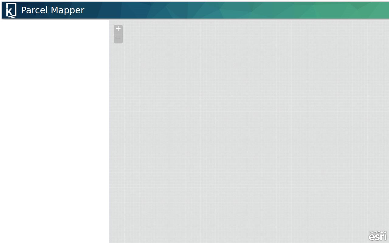
Parcel fields include PPN or PNUM, OWNERNAME1 and OWNERNAME2, OWNERADDRESS, OWNERCITY, OWNERZIPCODE, PROPERTYADDRESS, PROPADDRESSCITY, and PROPADDRESSSTATE_ZIPCODE. GOVERNMENTALUNIT, SCHOOLDISTRICT, property class, values, condominium flag, and geometry add the local context USPS does not provide.
A ZIP-wide ArcGIS query is an advanced service route where the operator knows the service field. The public viewer may not display that option, so verify the current controls before relying on a ZIP-wide map query.
Byron Township ZIP Filters Have Limits
The Byron Township BSA Online property search is a useful property-owner cross-check because property and owner records can include mailing and situs ZIP information. The township’s assessor page identifies BSA as a reference copy and warns that values and building information can change. Use owner name, address, or parcel number, then verify whether a returned ZIP belongs to the property or the owner’s mail.
The BSA Online property-search screen shows the local property entry point for a Byron Township postal check.
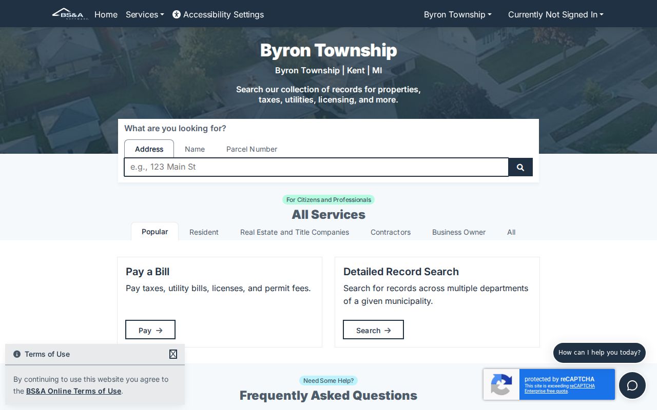
No current BSA ZIP-filter or result-export control was verified in the captured session. It would be inaccurate to promise a ZIP-wide owner search from this vendor screen. Use a confirmed address or parcel result instead.
Note: BSA is a property reference source, so distinguish the physical parcel ZIP from owner mailing information on every result.
Byron Township ZIP Voter Geography
Michigan Voter Information Center is a name-and-birth-month/year lookup, not a ZIP roster. For a formal data request, Kent County and the Michigan Department of State use geography choices such as county, city, township, district, ward or precinct, plus election scope. The county form does not promise a ZIP filter.
Public voter information remains subject to redaction and protected-address rules. A ZIP can help a researcher orient an address, but it does not replace precinct or municipality on a voter-file request.
Postal City and Township Lines
Kent County’s street directory demonstrates why a Byron Township postal label needs a second geographic check. Julienne Court SW is listed as Byron Center 49315, Byron Township, and Byron Center Public Schools. Kalamazoo Avenue SE, however, lists Byron Center 49315 for its range while identifying Gaines Township and Caledonia schools. The same postal locality can therefore sit with a different government unit and school district.
Boundary check. Use USPS for the postal result, then use Kent GIS parcel geometry and GOVERNMENTALUNIT to identify whether the address falls in Byron Township.
Postal city, township, and school-district labels each serve different purposes. Keep the historic or postal label as returned instead of silently treating it as a political boundary.
Note: A Byron Center postal label can be useful address context even when the parcel’s governmental unit is not Byron Township.
Byron Township ZIP Code Definitions
These postal terms help explain the limits of a Byron Township postal reference. They describe mail sorting and delivery, not legal jurisdiction or a resident roster.
- ZIP code
- A five-digit postal routing code used to organize mail delivery for an address or locality.
- ZIP+4
- The five-digit ZIP code plus four more digits that refine a delivery segment or address range.
- PO-box ZIP
- A postal code associated with post-office boxes rather than a broad physical delivery area.
- Unique ZIP
- A ZIP assigned to one high-volume organization or delivery destination.
- Carrier route
- A postal delivery sequence used for mail distribution. It is not a township boundary.
Postal geography can change as delivery operations change, but the captured official sources do not provide a Byron Township historical split or realignment date. The approximate Michigan DTMB map is not proof of when a change occurred. Preserve the ZIP and locality printed on a historic directory, deed, or census item, then compare it with the current address and parcel record rather than rewriting the older label.
No verified Byron Township ZIP split, realignment year, or parcel-by-parcel boundary history was located. The defensible approach is address-level USPS verification paired with the current county parcel record.